


The application of Light Detection and Ranging (LiDAR) technology has revolutionised remote sensing and spatial analysis. LiDAR, which measures distance using laser pulses, has applications in a number of areas, including environmental monitoring and autonomous cars. As of 2023, the LiDAR market is witnessing significant growth, reflecting the technology’s expanding applications and innovations.
According to Mordor Intelligence, its market size is valued at USD 2.14 trillion in 2023, and is expected to grow to USD 5.32 trillion by 2028, at a CAGR of 19.93% during these five years. This growth is driven by increasing investments in LiDAR startups, technological advancements in solid-state, MEMS, flash LiDAR, and other LiDAR technologies, and their integration into various industries. This increase in market value highlights LiDAR’s critical role in contemporary technology as well as its potential for future uses.
1. Miniaturisation and Integration into Consumer Devices

The integration of LiDAR technology into consumer electronics and its subsequent miniaturisation are two of the most notable advancements in the field. LiDAR systems used to be large and only used for specific purposes. But more recently, tiny, light LiDAR sensors have been created, and they are increasingly being incorporated into commonplace gadgets like wearables, drones, and smartphones.
These enhancements are opening up LiDAR to numerous new uses. The trend towards miniaturising LiDAR technology is not just a matter of making devices smaller, but also more energy-efficient and cost-effective. This has broad implications. For example, in smartphones, LiDAR is enabling new applications in augmented reality (AR), where precise spatial mapping enhances the virtual overlay on real-world environments. In the realm of personal health devices, miniaturised LiDAR sensors can aid in more accurate tracking of physical activity and even assist in fall detection for the elderly, providing real-time data that can be life-saving.
Miniaturised LiDAR sensors can also improve obstacle avoidance and terrain mapping in drones. When equipped with these compact sensors, drones can effortlessly traverse and map vast and often inaccessible terrains, providing detailed topographical data. This capacity is extremely useful in many domains, such as forestry management and geological surveys.
Drones equipped with LiDAR technology, for example, may swiftly and accurately scan geological features in geological surveys, indicating possible risks such as landslides or erosion regions. These drones can monitor biomass, evaluate the health of the forest, and even help plan sustainable logging operations. Drones and miniature LiDAR sensors together create new opportunities for effective and thorough environmental planning and monitoring.
2. Solid-State LiDAR
Solid-state LiDAR is a major advancement in terms of both design and capability. Conventional LiDAR systems spin the laser emitters and detectors using mechanical components in order to scan the surrounding area. In contrast, solid-state LiDAR does not have any moving parts. This approach lowers production costs and maintenance requirements while simultaneously improving the system’s robustness and dependability.
Solid-state LiDAR has enormous potential benefits, especially for the automobile sector. Robust, long-lasting sensors that can tolerate a variety of weather conditions are essential for autonomous cars. These requirements are satisfied by solid-state LiDAR, which provides a better choice for vehicle integration than its mechanical equivalents.
3. Advancements in Resolution and Range
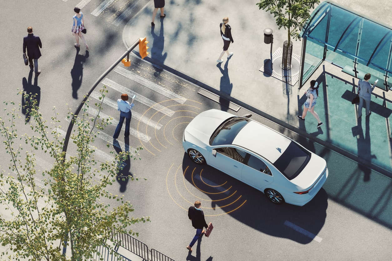
Another significant development in current LiDAR systems is their enhanced resolution and range. Modern LiDAR sensors are more accurate and can detect objects at longer distances. This capacity is especially important for applications where correct perception of distant objects is necessary for safety and navigation, such as advanced driver-assistance systems (ADAS) and autonomous driving.
The ability of autonomous vehicles to identify small, distant objects—like a child running towards the road or debris on a highway—is essential. Improved resolution in geographic information systems (GIS) makes it possible to map topography in greater detail, which is crucial for environmental preservation, urban planning, and even archaeology, as little changes in the terrain might reveal hidden landscapes or structures.
Higher-resolution LiDAR, for example, provides more detailed environmental data and can discriminate between objects that are tightly spaced apart, making mapping and object recognition more accurate. This increased fidelity is essential for the purpose of producing precise 3D models of complex landscapes such as forest canopies and urban surroundings.
4. Integration of AI and Machine Learning
A revolutionary advancement is the combination of LiDAR technology with artificial intelligence (AI) and machine learning. Thanks to the integration of AI, LiDAR systems are now active interpreters of their surroundings rather than only passive gatherers of spatial data. Sophisticated scenario analysis and real-time data processing are made possible by this combination.
Beyond simple mapping, AI-enhanced LiDAR can recognise and classify objects, forecast movement patterns, and even make judgements based on the information gathered. In autonomous vehicle navigation, where the system needs to comprehend and respond to dynamic situations, this skill is crucial. Similar to this, AI-driven LiDAR systems in environmental monitoring can more accurately follow wildlife, identify changes in the landscape, and evaluate the health of the forests.
In urban environments, AI-enhanced LiDAR can be used for intelligent traffic management systems, analysing traffic flow and pedestrian patterns to optimise signal timings and reduce congestion. These systems are useful for disaster management because they can evaluate earthquake or flood damage quickly, giving vital information for rescue and recovery operations.
5. Mass Production
Lastly, the most significant trend is probably the one towards mass-producing LiDAR systems at a lower cost. Economies of scale have resulted from the growing demand for LiDAR sensors as the technology finds additional uses. Developments in manufacturing technology have further brought down costs, opening up a greater range of applications for LiDAR devices.
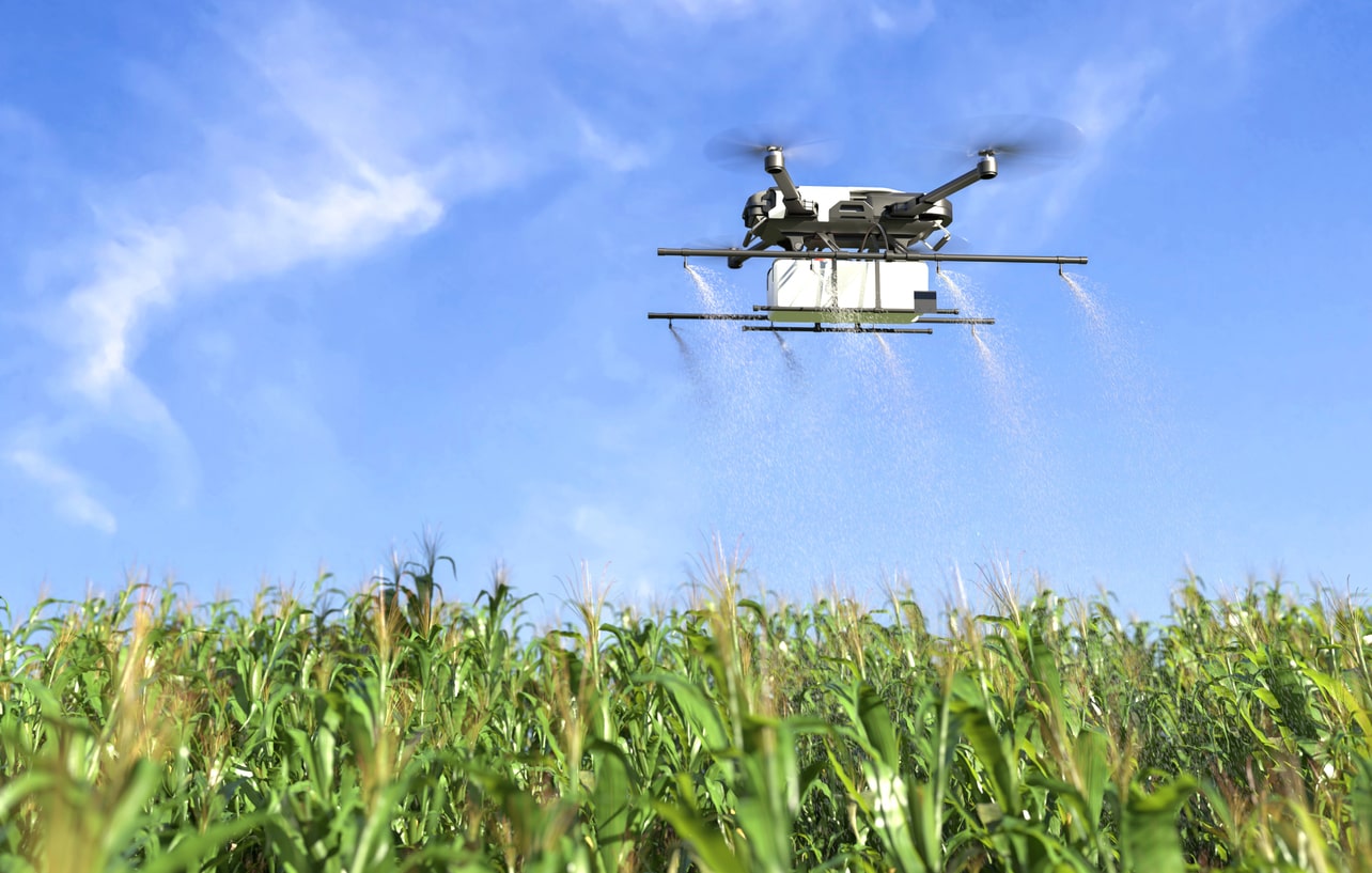
LiDAR technology is no longer restricted to expensive, niche uses thanks to its democratisation. New opportunities are being created by economical LiDAR systems, ranging from urban planning to agriculture management. In agriculture, affordable LiDAR sensors can be mounted on drones or tractors for precision farming, helping to monitor crop health, optimise water usage, and increase yield. In the field of conservation, LiDAR is becoming an essential tool for monitoring deforestation and habitat loss, providing data that can guide conservation strategies and policy decisions.
Recommended Products
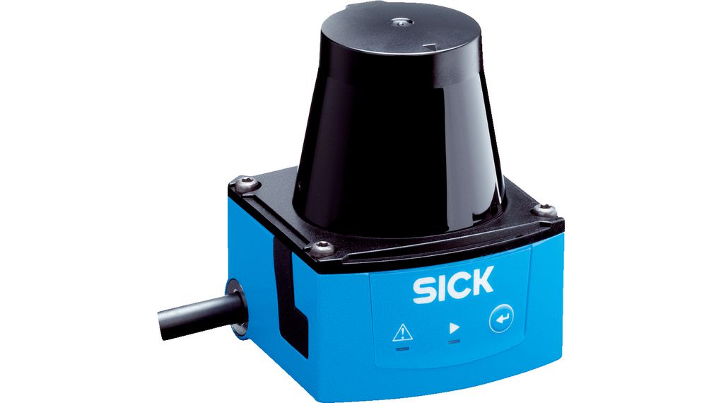
SICK Industrial LiDAR Sensor
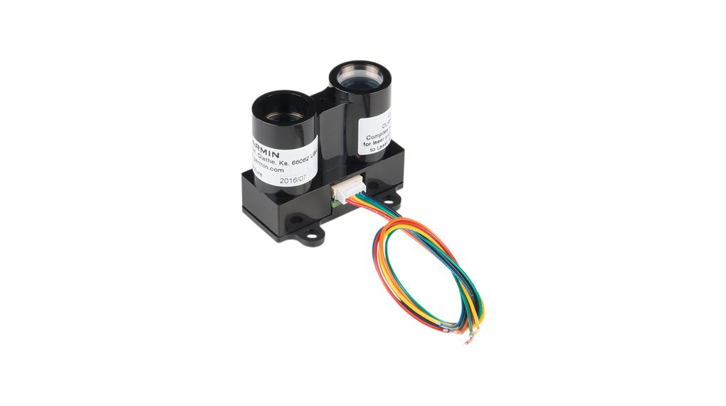
SparkFun LIDAR-Lite V3 Distance Sensor
Conclusion
The continuous developments in LiDAR technology reflect an extraordinary time of invention and growth. The way we interact with and perceive our surroundings is changing as a result of several factors, including the integration of LiDAR into consumer devices, the development of solid-state systems, advancements in resolution and range, the incorporation of AI and machine learning, and the need for mass production and affordability. We may anticipate even more ground-breaking uses and solutions as LiDAR technology develops further, showcasing the adaptability and promise of this cutting-edge tool.


